A popular Chinese folk song is called "Xinjiang: What a Wonderful Place."
The lyrics of the song describe how beautiful the pastures and countryside of the region are, the fragrance of the fruits grown there, and the solidarity of the people.
There are many wonders to discover here, ranging from the vast landmass to the diversity in culture. Xinjiang is home to six primary religions, 13 different ethnic groups, and over 24 million people.
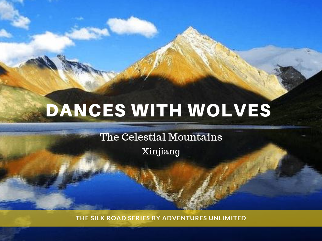
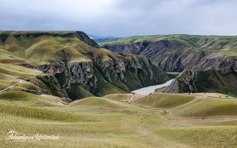
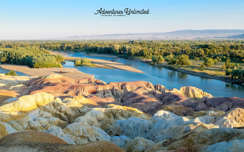
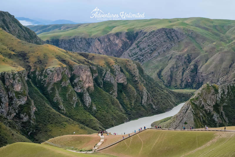
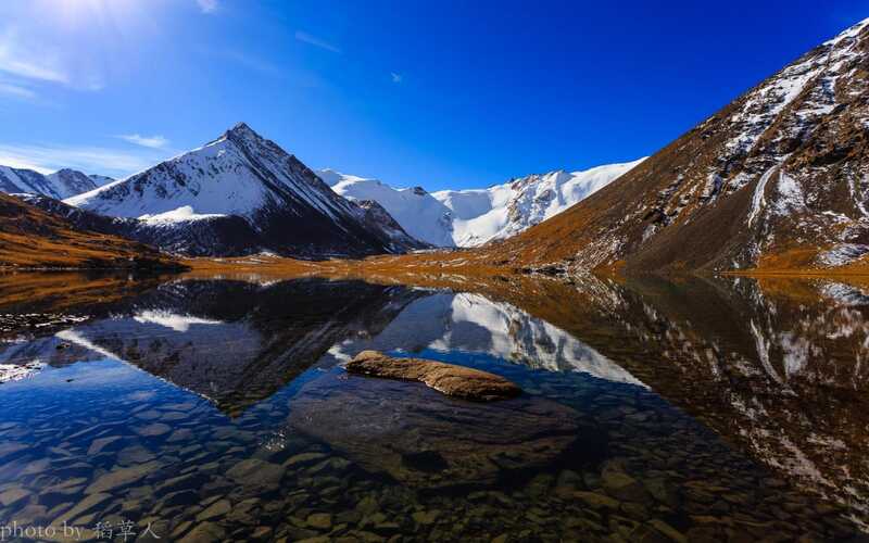
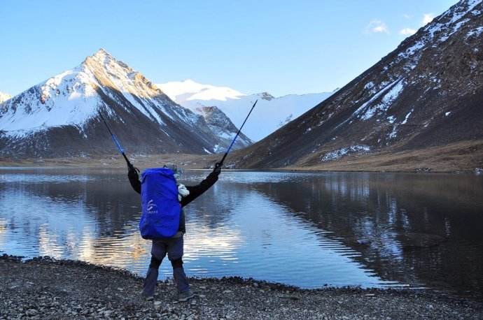
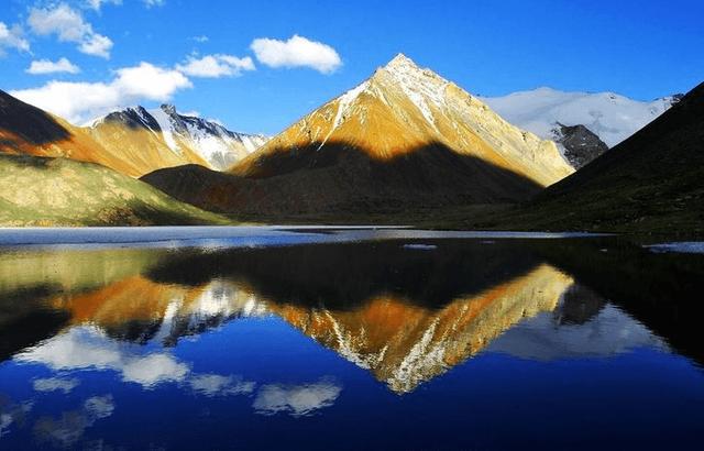
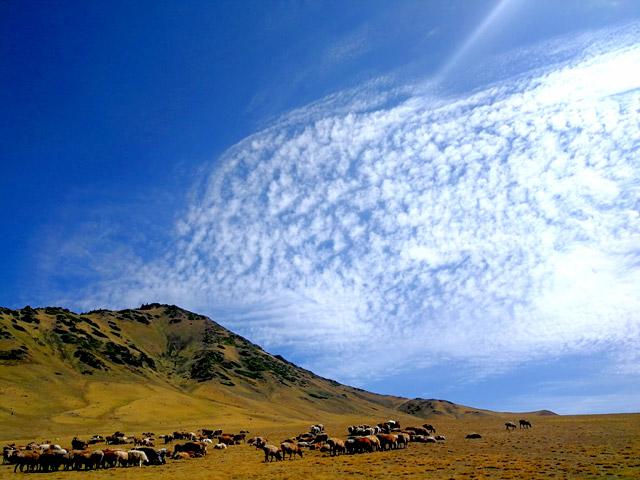
It is here that you can find crystal-clear lakes, beautiful blue skies promising wonders, waterfalls, hot springs, and stunning stone forests.
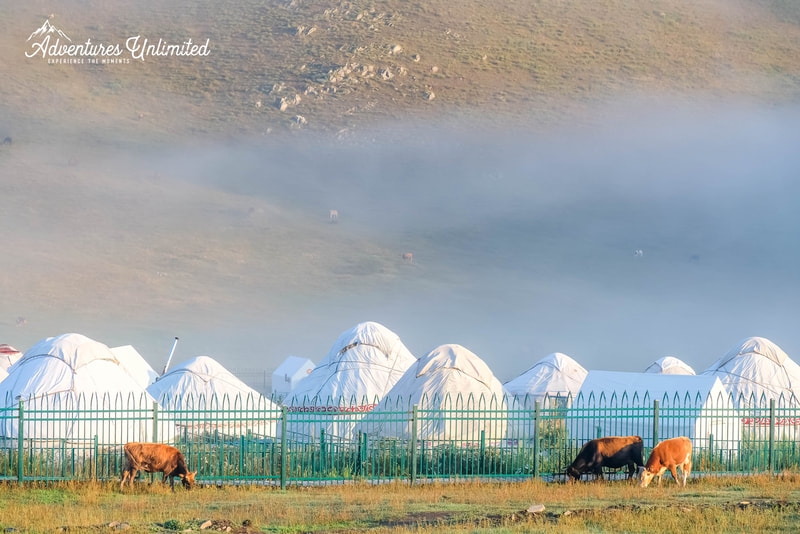
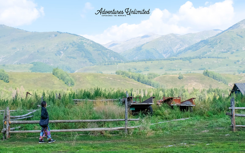
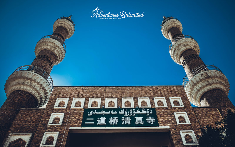
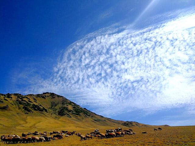
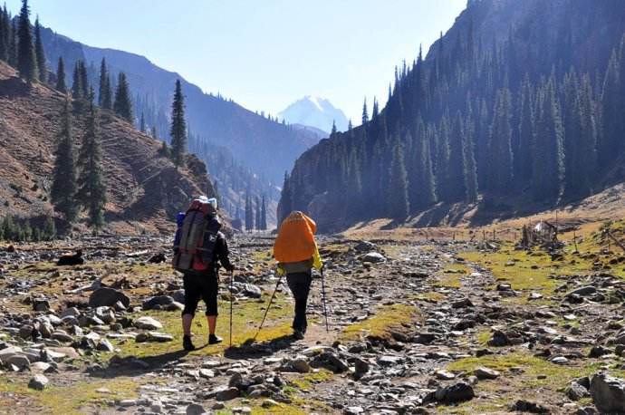
Photos from our 2019 Silk Road - Beijiang trip
INTRODUCTION
Hidden in the depths of Mount Yilian Habir Lushan, the branches of the Chate Ancient Trail 夏特古道 and Wusun Ancient Trail 乌孙古道 come together with the Lang Ta 狼塔C线 to create three stunning hiking routes in Xinjiang.
It is said that if you want to experience beauty, then you trek the Wusun Ancient trail. The Chate Ancient Trail is the most famous. If you prefer to challenge yourself, then taking the Lang Ta Line is the best choice available. At this point of time, both the Wushun and Chate trails are opened to Chinese nationality only.
It is said that if you want to experience beauty, then you trek the Wusun Ancient trail. The Chate Ancient Trail is the most famous. If you prefer to challenge yourself, then taking the Lang Ta Line is the best choice available. At this point of time, both the Wushun and Chate trails are opened to Chinese nationality only.
Lang Ta C Route 狼塔C线 (Grade 4.5/5, for trekkers with multi days hike experience only
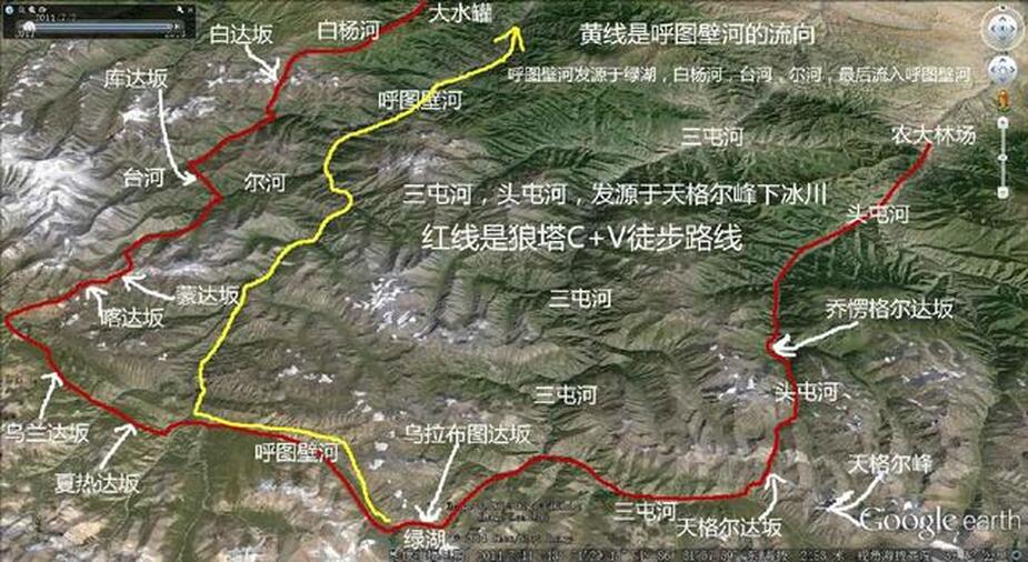
The starting point for Lang Ta C Route is the Baiyanggou Coal Mine in Hutubi County. The terminal is approximately 506 kilometers of National Highway 218 in Barentai Town. The entire journey is 200 km, crossing Changji Hui Autonomous Prefecture and Bayinguoling Mongolian Autonomous Prefecture and five mountain passes at an average altitude of 3500m.
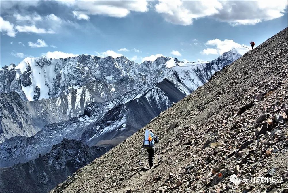
Thanks to BaiYangou Pass 白杨沟 (3850m), Kura Attendo Pass 库拉阿特藤 (3700m), Monkert Kaizeng Pass 蒙克特开曾 (3950m), Karama Itekai Tseng Pass 喀拉尕依特开曾 (3767m), and Hal Gatend Pass 哈尔嘎腾 (3844m), Lang Ta C Route is the longest and most challenging hiking route across North Tianshan Mountain.
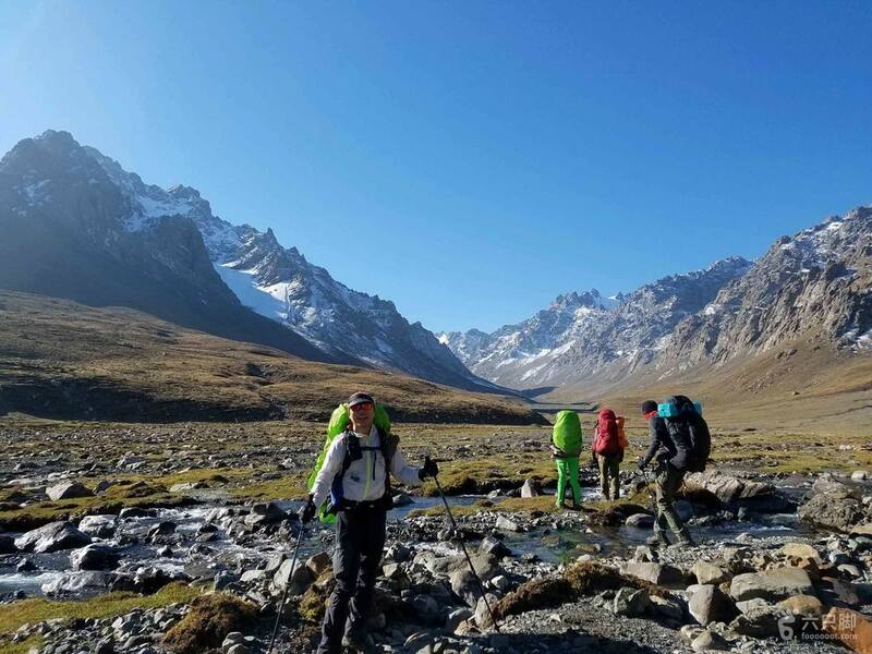
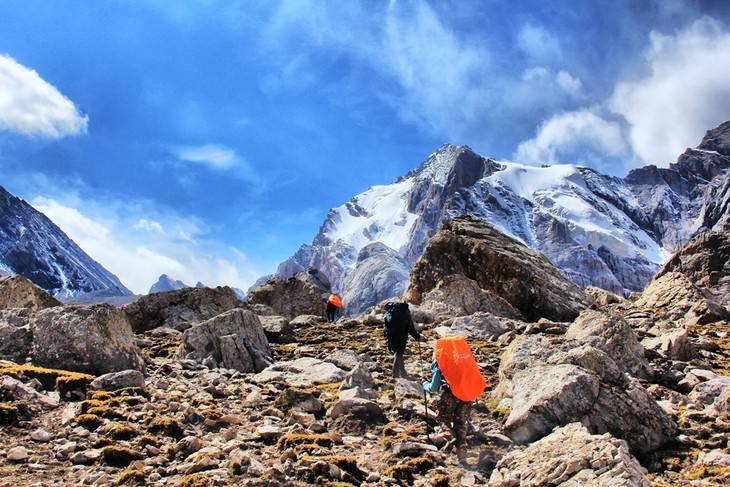
You'll get to walk in the native forest and alpine biomes of the region. Unique challenges will push your trekking skills to the limit. With over 100 km of unmanned mountainous area in the region, there are encounters with wildlife that can happen as well – including wolves.
Despite the challenges, this shortcut that leads to Barentai Town was important enough in the past to warrant the protection of border guards. You would have seen Kazakh herdsmen at times as well. As modern roads developed, these ancient routes were largely abandoned. That means the desolation and forgetfulness have led to a unique kind of beauty.
The first successful modern crossing of the Lang Ta was recorded in 2003 under the leadership of the famous mountaineer Wang Tienan. It took the expedition nine days and nights of trekking.
Some say that this journey chooses you. Others decide to embrace the challenge as a way to explore the history of the area, the natural ecology of the region, or to see something that they've never experienced before.
LEVEL OF ACTIVITY (Based on a 10 Stars Rating)
Hiking level: ★★★★★★★★★
Landscape index: ★★★★★★★
Difficulty: ★★★★★★★
Official risk: ★★★★★
The Lang Ta C Route is exceptionally challenging. There are specific requirements for physical endurance for those who wish to partake in this experience. You must have more than three days of multi-days outdoor trekking experience in order to qualify.
Please carefully read and evaluate the plan of activities and all the details contained. Otherwise, registration or participation is refused.
You may be refused participation if you
a, do not have more than 3 continuous days trekking experience
b, have incomplete equipment or does not meet the requirements (we will share the equipment list later)
c, are a patient with infectious diseases, cardiovascular and cerebrovascular diseases, severe respiratory diseases, mental illness, severe anemia: patient with recovery, inconvenient action, pregnant women, etc.;
d, are less than 16 years of age or older than 60 years of age.
Training will be provided by Adventures Unlimited. Participants are strongly encouraged to come for the training to increase their chances of success in the trek.
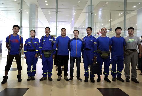
This trek will be supported by an experienced trek leader and crew who are members of the famed Lan Tian 蓝天 Search and Rescue group.
https://mp.weixin.qq.com/s/RG962Y55QnBfFzAmJ3Uqbg
THE ITINERARY
21/5/2020 to 31/5/2020
21/5/2020 to 31/5/2020
ROUTE ITINERARY
21/5: Depart from Singapore to Urumuqi (Sleeper flight)
22/5 - Arrives at Urumqi. Local sight seeing, equipment check and pre-departure briefing with the our local trek counterparts.
21/5: Depart from Singapore to Urumuqi (Sleeper flight)
22/5 - Arrives at Urumqi. Local sight seeing, equipment check and pre-departure briefing with the our local trek counterparts.
23/5: Urumqi-Hutubi-Baiyanggou Coal Mine- C1 (camping, cars, trekking)
Departure from Urumqi in the morning, arrive at the starting point of hiking around noon at Baiyanggou Coal Mine. It is surrounded by mountains on all sides and has dense vegetation. Along the Baiyang River Valley westbound, the valley gradually opens, trees beginn to become scarce. It is Baiyanggou Dasaka under Karamoinak Alpine Ranch. In the alpine meadow, you can see the traces of ancient glacier retreat, and you can also see the high moraine of glacier movement uplift.
Today, we trek for eight hours, 20 km. We will arrive and camp at Baiyanggou Villiage 2300 meters.
24/5: C1-Baiyanggou Dasaka -C2 (camping, trekking)
Continue to go up along Baiyanggou, rising 1000m above sea level. Two hours after departure, we reach the glacier zone, where the moving moraine stone statue and significant steps blocks the road. We bypass the considerable moraine and climb along the edge of the glacier, and then we will climb over Baiyanggou Pass.
Baiyanggou Dasaka is a snowy mountain, from the glacier gravel below to the top of pass, with a vertical height of more than 600 meters.
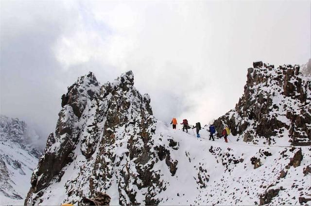
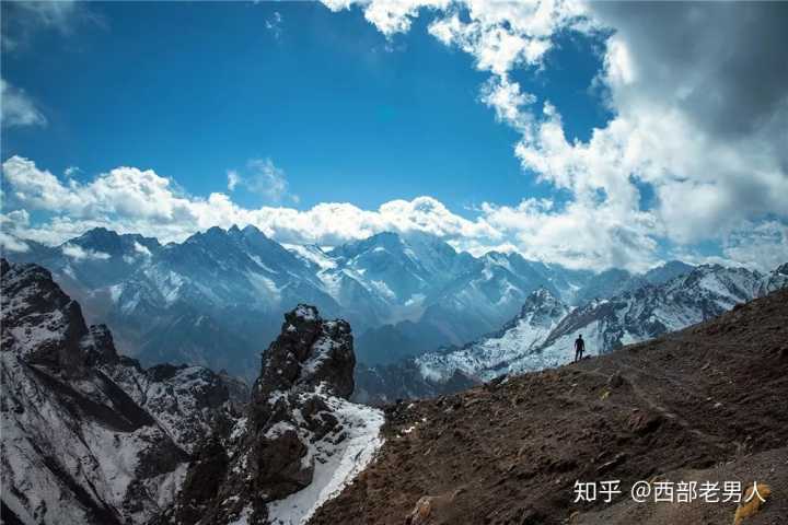
We can reach the top of pass at an altitude of 3862m on foot in nearly 4 hours. Baiyanggou pass is the watershed of the north and south Tianshan River system. The Hilemuhu and Karamoinak pastures north belongs to the front mountain. When we cross over, we enter the back of the mountains, leading us to the fearsome wolf tower area. Today, the camp is 3400 meters above sea level and walks for 8-9 hours.
25/5: C2-Tephukma Valley-Trestle-C3 (camping, trekking)
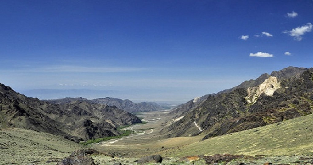
Tephikma Valley, 2400 meters below sea level, today we enter the core area of The Wolf Tower. The Tephikma River is the main tributary of the upper reaches of the Hutubi River. The valley is narrow and deep, the current is swift, and the dense jungle is on both sides of the river.
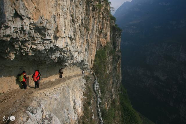
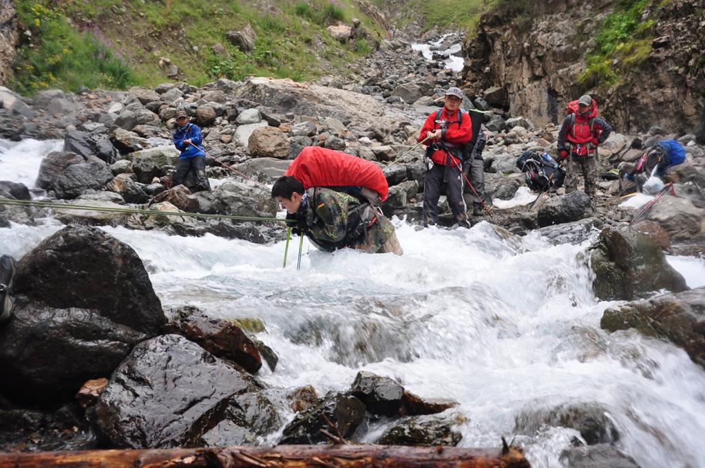
The original state of nature is maintained here. We will pass through the legendary trestle that was manually created on the vertical cliffs 30-40 cm wide. The height of the trench can only let a horse without carrying things reluctantly through. Walkers should always think about the big bag behind them, so as not to suddenly turn around, have the backpack hit the wall, and the body becomes out of balance.
Along the Tepschkema Valley walk of about 8 kilometers, the artificially chiseled rural road and the construction of wooden bridges will not be seen, when the bottom of the valley is also gradually opens up. Walking at the bottom of the valley for an hour, the Tepshkma River appears. All members of the team must cross the river under the supervision leader and team work, it is strictly forbidden to cross the river privately. On the same day, we will arrive at Kula Attendaban and camp at an altitude of 2700 meters.
26/5: C3-Cura Attendo Dasaka-Irtland River-C 4 (camping, trekking)
The distance from C3 to Cura Attendo Pass (3555 masl) is less than 4 km, but rises vertically by 1000 meters above sea level. Near the top, there is a gravel slope with a inclination of nearly 60 degrees, and it is challenging to climb.
Cross over Cura Attendo Dasaka, travel 6 km and descend 1400m to reach the ancient forest at the bottom of the valley, which are 2500 meters above sea level. The river, which originates from the Lantzeng Glacier and the Monkett Glacier, converges at the bottom of the valley. We must walk through the river, crossing it ten times.
We can reach the Wolf Tower Summer Ranch in the evening. It is located under the Rand Snow Mountain and Monkett Snow Mountain, with an average altitude of 3000 meters. The mountain is gentle and inaccessible, and it is a paradise for wild animals. This location is the summer nest of several Kazakh herdsmen in the summer. Along the Irtrand River-Road, camp in Monkett Zundasaka, 3400 meters above sea level.
27/5: C4-Monkert Kaizeng Dasaka (3950 m)-Keragait Kaizeng Dasaka (3767 m)-C5 (camping, heavy foot)
Two roads can cross the snowy mountains. Monketert Kaizeng needs to turn over two dasaka, the route is also longer, but there is an apparent pastoral road, herdsmen chooses this road more. It is safest to walk along herdsmen's roads in the mountains. Today we are going to climb over Monkette, which is 3950m above sea level, Zengda Dasaka, and Kalagait, 3767m above sea level, to Hargatenggol Gully.
At this point, we leave Changji's territory and entered the Bazhou boundary. The two sides of this pass belong to the jurisdiction of different autonomous prefectures, and their religious beliefs and customs are very different. Kazakh herdsmen who believe in Islam are mainly in the mountains on the north side, and Mongolian herdsmen who believe in Buddhism are primarily in the south.
The climate on the north and south sides is also very different. The north side of Hutu wall is wetter, while the weather on the south side is dry. On the same day, we will camp in Hargateng Gole Gou.
28/5: C5-Harghatenggle Gully-C6 (camping, trekking)
In Hargatenggol Gully, you need to wade through a canyon section and walk across both sides of the river many times. To camp at the herdsmen's cabin under Hal Gatunda.
29/5: C6-Hogateng Dasaka (3844 meters)-Gu Rengol Village-Barentai-Yanqi (camping, heavy foot, car)
The same day along Halgatengore countercurrent. Go up to the source, climb over Halgatengore Pass (3844m) and then drop another 700 meters. We follow Gurengole Valley to the end of Gurengole Village to finish the whole journey. The altitude rises 1000m throughout the day, and then down 700m.
Take the bus waiting and arrive in Yanqi by car to return to Urumqi.
30/5: Yanqi- Urumqi (private coach)
The bus arrives in Urumqi, and the long walk through Lang Ta for seven days and seven nights finally ends. The impressive trestle, the snow on the mountain passes, the cold river, the camaraderie formed between members, will become the eternal memory of all those who trekked through the Lang Ta Wolf Tower (the end of the whole journey). Rest and recuperate at Urumuqi. Celebratory dinner
31/5: Departs Urumuqi for Singapore.
The event host will endeavor as far as possible to adhere to the programme of the event as advertised. The event host however, reserve the right to alter routes, time-tables, itineraries and accommodation as they deem fit.
THIS IS A RECCE TRIP. Favorite destinations are always important to revisit. There are exceptional new wonders to find, even when exploring the familiar. It is also important to explore new destinations, try new itineraries, and make known what was once unknown to us. That is why Adventures Unlimited is constantly developing new, intriguing, and exciting adventures to enjoy. We want you to join us on this recce trip.
It is important to remember that, once upon a time, our most popular trips were unknown treasures. Favourites were once uncertain destinations. Come join us to see what new opportunities await this year to see what new treasures we can add to our adventure portfolio!
It is important to remember that, once upon a time, our most popular trips were unknown treasures. Favourites were once uncertain destinations. Come join us to see what new opportunities await this year to see what new treasures we can add to our adventure portfolio!
Please watch this video to have a better understanding of the terrain and expectation you should have of Lang Ta C Route.
LAND COST
Cost: SGD 1950/pax
SGD 500 deposit will be collected to confirm your slot.
What does your package include?
Package Excludes
Step 2: Upon approval, deposit of SGD 500 via ATM/Bank transfer to ADVENTURES UNLIMITED, DBS CURRENT A/C - 0039351950.
Step 3: Whatapp proof of payment receipt to 91020550 (IMPORTANT: PLEASE INDICATE "2020 WOLVES")
Step 4: Receipt for payment will be issued and further instruction will be provided.
Step 5: Pre trip briefing will be arranged and you will be added into a dedicated whatsapp chat for this trip 3 months before the trip.
Refund Policy
Deposit (non-refundable)
Until 12 weeks prior to departure – 100% Refund of balance paid
10 weeks prior to departure – 50% Refund of balance paid
8 weeks prior to departure – 0% Refund of balance paid
Recommended flight
Details will be given to confirmed participants.
Others:
1. This event is organised by Adventures Unlimited (TA02844), a licensed travel agent registered with the Singapore Tourism Board.
2. Insurance
From 15 July 2015, a travel agent is required to inform and ask attending participants if it is their wish to purchase travel insurance that includes coverage for business insolvency of travel agencies when:
– they are buying a leisure travel product/package; or
– their travel product/package costs at least S$1,000 (including GST) per person; or
– they are paying a deposit or payment of at least S$500 per person.
Cost: SGD 1950/pax
SGD 500 deposit will be collected to confirm your slot.
What does your package include?
- Airport transfer to the Urumuqi (For main group arrival)
- All vehicle transfers during the trip
- Team leader fee (familiar with local humanities, geography, holding mountaineering association certification team leader certificate).
- Chinese Speaking trekking guide
- Logistic porters/horses to carry food, and tents for the trek
- Double/twin/triple sharing accommodation at Urumuqi hotel (2 nights)
- National Park Trekking Permits and related fees
- Meals during the trek
- 500000 yuan personal outdoor adventure accident injury insurance.
- Public equipment costs (satellite telephone, GPS, rope, walkie-talkie, medical kit, etc.)
Package Excludes
- International and domestic flights
- Meals that are not stated above
- Personal travel insurance
- Gratuities/Tips
- Personal expenses
- Laundry
- Visa entry if required
- Anything else not mentioned in inclusion list.
Step 2: Upon approval, deposit of SGD 500 via ATM/Bank transfer to ADVENTURES UNLIMITED, DBS CURRENT A/C - 0039351950.
Step 3: Whatapp proof of payment receipt to 91020550 (IMPORTANT: PLEASE INDICATE "2020 WOLVES")
Step 4: Receipt for payment will be issued and further instruction will be provided.
Step 5: Pre trip briefing will be arranged and you will be added into a dedicated whatsapp chat for this trip 3 months before the trip.
Refund Policy
Deposit (non-refundable)
Until 12 weeks prior to departure – 100% Refund of balance paid
10 weeks prior to departure – 50% Refund of balance paid
8 weeks prior to departure – 0% Refund of balance paid
Recommended flight
Details will be given to confirmed participants.
Others:
1. This event is organised by Adventures Unlimited (TA02844), a licensed travel agent registered with the Singapore Tourism Board.
2. Insurance
From 15 July 2015, a travel agent is required to inform and ask attending participants if it is their wish to purchase travel insurance that includes coverage for business insolvency of travel agencies when:
– they are buying a leisure travel product/package; or
– their travel product/package costs at least S$1,000 (including GST) per person; or
– they are paying a deposit or payment of at least S$500 per person.

